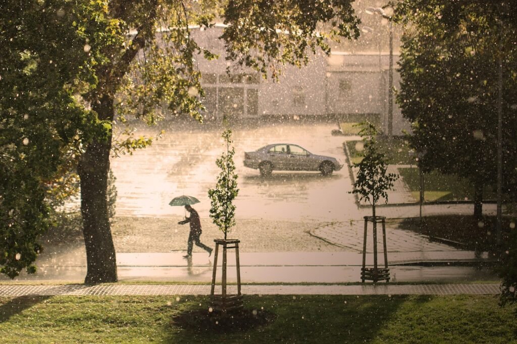
The UK is bracing itself for the arrival of Storm Floris, the sixth named storm of the 2024/25 season. While most Britons expect named storms in the autumn or winter, Floris brings unusually strong winds and heavy rain to the country at the height of summer. The Met Office, which named the storm after careful observation, has issued weather warnings and is urging the public to prepare for a turbulent start to the week ahead.
Storm Floris: The Met Office Warning
The Met Office has taken the rare step of naming a summer storm, highlighting the significance of Floris’s impact. Starting from 6am on Monday, 4 August and lasting through to 6am on Tuesday, large parts of northern England, Scotland, Northern Ireland, and north Wales fall under a yellow weather warning. Forecasts suggest wind gusts could reach 40-50mph inland, with coastal hills in Scotland potentially experiencing gusts as high as 85mph. These conditions are far from typical for the time of year, making Floris an especially notable event for the UK.
Met Office Chief Meteorologist Matthew Lehnert explained that the fast-moving low-pressure system would deepen rapidly as it crossed the Atlantic. The interaction with an active jet stream will intensify its strength, making travel and outdoor plans precarious, especially in exposed areas. The strongest winds are expected in Scotland late Monday and into the early hours of Tuesday, while western areas may see an easing of conditions late on Monday.
Rain and Flood Risk
Alongside the unseasonably fierce winds, Storm Floris will bring persistent and, at times, heavy rain. Rainfall totals could exceed 50mm in parts of western Scotland, with wet weather spreading over much of the northern half of the UK. The Met Office warns there is a risk of localized flooding, especially in regions where the ground is already saturated. Trees, now in full leaf for the summer, are more vulnerable to wind damage, increasing the likelihood of downed branches and, in worst cases, power cuts.
Temporary structures, from garden tents to summer festival marquees, could also be at risk. People travelling or planning outdoor events are strongly advised to monitor local updates and adjust their plans to account for possible delays or disruptions.
The Path and Causes of Floris
Storm Floris began life as a band of showers near the Great Lakes in the United States just days ago. As it travelled over the Atlantic, an exceptionally strong jet stream helped transform it into a deep, disruptive low-pressure system. By the time it arrives in Britain, it will have reached a strength more familiar in winter months. This transformation is a reminder of how interconnected global weather systems can quickly develop and affect the UK.
Summer storms like Floris are rare, but not unprecedented. In recent years, similar systems have disrupted summer plans, most notably Storm Lilian, which struck ahead of a bank holiday weekend in 2024 and caused festival and travel disruption.
Expert Insights and Public Response
Weather experts from across the nation agree that the timing and severity of Floris are exceptional. With gusts that could set records for August in Scotland and northern England, authorities are working alongside local councils and transport providers to keep the public safe. Power companies are on alert for outages, while emergency services urge everyone to secure loose items in gardens or on balconies.
The UK public, often resilient in the face of unpredictable weather, is being encouraged to check the latest Met Office forecasts and follow advice for driving in wet or windy conditions. Delays to ferries, trains, and flights are possible early in the week, so those with travel plans should set aside extra time and consider alternatives. Communities in the warning area are also advised to look out for vulnerable neighbours who might need help if conditions deteriorate.
Why Are Summer Storms a Concern?
While winter storms can cause chaos, summer storms bring unique threats. Fully-leafed trees are more likely to suffer damage or be uprooted. Outdoor events, more frequent in the summer, are particularly exposed to wind, rain, and flying debris. Waterlogged fields add to the risk of flash floods. After the UK’s driest spring in over a century and a record-breaking June for warmth, Floris’s rain may provide some relief, but the rapid shift from heat to storms can stress infrastructure and communities alike.
Looking Ahead
After a relatively calm start to August, the quick transition to severe weather has caught many off guard. Meteorologists will continue to monitor the track and depth of Floris as it nears the UK, with updates expected across all major news channels and the official Met Office website. Once the storm passes, a clearer picture will emerge of its impact—and whether this event signals a trend towards more unusual summer weather patterns in Britain’s changing climate.
Conclusion
Storm Floris is poised to be one of the most impactful UK weather events of the summer, combining strong winds, heavy rain, and the potential for widespread disruption. As usual, preparation and sensible planning go a long way. Britons are reminded to keep up with the latest information, lend a hand where possible, and remember that, in the face of nature, community spirit and caution are always worth practising.
To read more click here

